Messier Channel
Messier Channel
A fjord in Chilean Patagonia between Wellington Island and the mainland, Messier Channel ranks among the world's deepest and can be traversed by cargo ferry.
Messier Channel is a fjord located in Chilean Patagonia, south of the Gulf of Peñas. Situated along the magnificent Bernardo O'Higgins National Park, it stands as one of the world's deepest fjords.
A touch of history
Named in honor of French astronomer Charles Messier, the channel administratively belongs to the Capitán Prat Province in the Aysén Region. Exploration of Messier Channel was conducted primarily by Spanish navigators between 1550 and 1680.
The southern mouth was discovered by Pedro Sarmiento de Gamboa between 1579 and 1584 during an exploration mission aimed at determining whether England had established a colony in this region of South America. The northern mouth was reportedly discovered during the first exploration mission of the Gulf of Peñas in 1553 by Captain Francisco de Ulloa.
For approximately 6,000 years, the shores of the channel were inhabited by indigenous hunters, notably the Kawésqar.
Messier Channel today
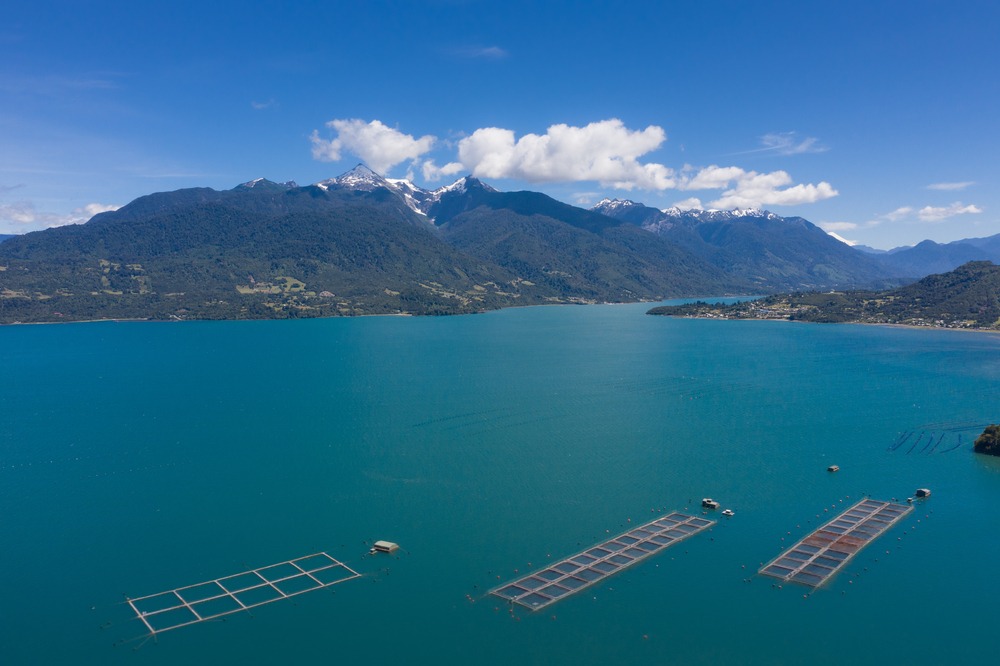
Messier Channel lies between Wellington Island and the Chilean mainland, bordered to the north by the Gulf of Peñas. It is a fjord with a depth of 1,350 meters, one of the deepest in the world. The shores of the channel are ringed on both sides by mountains.
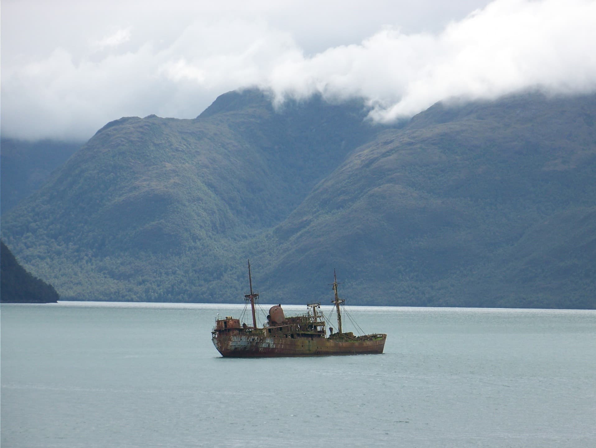
Messier Channel is surrounded by the Bernardo O'Higgins National Park and the Katalalixar National Reserve. Navigation is made challenging by persistent precipitation and storms.
Discovering Messier Channel
This body of water is home to several islands that form as many passages.
Baker Islands
The Baker Islands form an archipelago of five large islands and several smaller ones. The largest islands (Zealous, Sombrero, Orlebar, and Scout) are surrounded by the waters of Messier Channel.
Island Harbour
Harbour Island, situated on the Swett Peninsula, is a small, wild and pristine cove. At the end of this bay stands a grand and majestic waterfall. Only small vessels can navigate around this island, which is notably rich in fish.
Van der Maulen Island
Van der Maulen Island is separated from the mainland by unexplored channels, including Messier Channel. Just at the center of the island rises a hill reaching a height of 1,076 meters.
Farquhar Channel
On the continental side of Messier Channel and to the southeast of its namesake island stretches Farquhar Channel. The latter opens onto an enormous glacier belonging to the Southern Patagonian Ice Field.
Middle Island
This island is quite remarkable and divides Messier Channel into two parts, both perfectly navigable (the eastern arm and the western arm). Middle Island is small in size and possesses two notable peaks—one to the north reaching 660 meters and another to the south reaching 630 meters.
Tribune Bay
Tribune Bay serves as an excellent landmark for ships and a good anchorage spot for waiting out tides or daylight.
Halt Bay
Halt Bay, located near the southern extremity of Messier Channel, has depths between 36 and 75 meters, allowing medium-sized vessels to stop there.
Liberta Bay
South of Halt Bay lies Liberta Bay, home to the automated Bahía Liberta lighthouse.
Gray Harbor
Gray Harbor is a charming port that can accommodate only small vessels. At the back of the harbor stretches an immense lagoon of fresh water. It can be crossed by small boats at high tide.
Wellington Archipelago
Several islands in the Wellington Archipelago delimit the western shore of Messier Channel (Juan Stuven, Millar, Schäfer, Little Wellington, and Wellington).
Moat Island
Situated at the southern extremity of Messier Channel, Moat Island is surrounded by three peaks.
Caleta Hoskyn
Located at the southern extremity of Messier Channel, this cove is useful for ships that need to wait to cross English Narrows.
Departing from Puerto Natales, Puerto Montt, or Puerto Eden, the cargo ferry serves Messier Channel.
Interested in this visit?
We can include it in your personalised itinerary.