Laguna San Rafael National Park
Laguna San Rafael National Park
The world's most equatorial tidewater glacier, Monte San Valentín at 4,058 m, and remote fjords: a practical guide to Laguna San Rafael National Park in Chilean Patagonia.
Embark on a group adventure to Laguna San Rafael National Park, nestled in the heart of Patagonia's mountains. Let yourself be captivated by the raw and striking beauty of this natural wonder. San Rafael Glacier, a true monolith of ice, offers a breathtaking spectacle as it plunges into the waters of the lagoon. Prepare yourself for an extraordinary picnic and hike amid landscapes that will leave you speechless.
Its history
Laguna San Rafael, remote and pristine, holds a captivating past. Bartolomé Díaz Gallardo was the first European to explore it from Golfo de Penas, crossing the lower Istmo de Ofqui. Jesuit missionaries gave it its name around 1766–1767, though they were later expelled by the king.
The history of this place is also marked by iconic figures. John Byron, a British naval officer, endured a solitary winter in this region. Charles Darwin, during his voyage aboard the Beagle, made important observations. Enrique Simpson, a Chilean naval officer, wrote the first official report in 1871. In 1940, the government began constructing a canal through the isthmus, but the project was abandoned. In 1959, the area was declared a national park, though in the 1980s, a road for transporting goods was considered. Currently administered by the Corporación Nacional Forestal (CONAF), this exceptional site received UNESCO recognition in 1979 as a biosphere reserve.
Geography
This reserve is home to some of the highest mountains in the Patagonian Andes, including Monte San Valentín, Cerro Arenales, Cerro Hyades, and Cerro Pared Norte. Several waterways traverse the park, such as the San Tadeo River, which flows through the Ofqui Isthmus to meet San Quintín Bay north of the Golfo de Penas. Other rivers, including the Baker and Exploradores, also wind through the landscape. The Témpanos River connects San Rafael Lagoon to Elefantes Gulf, located in the southern part of the Moraleda Channel.
Lago Presidente Ríos marks the boundary between the park and Las Guaitecas National Reserve. Located 225 km southwest of Puerto Chacabuco through winding channels, and just 190 km from Coyhaique by air taxi, Laguna San Rafael offers a landscape where the east is characterized by the rugged Patagonian terrain. The west is dotted with islands from the Chonos Archipelago and the Taitao Peninsula.
Altitudes within the park range from sea level to the summit of Monte San Valentín, reaching 4,058 m, which represents the highest point of the southern Andes mountains.
A visit to San Rafael Glacier: the park's star attraction
San Rafael Glacier is the undisputed star of Laguna San Rafael National Park. It rises majestically at the heart of the lagoon bearing its name and holds the distinction of being the world's most equatorial tidewater glacier. It is truly the main attraction of the region, drawing thousands of tourists each year. Visitors flock to admire it from their zodiac, though approaching too closely is forbidden due to the high risk of falling ice pinnacles. Even from a safe distance, San Rafael Glacier impresses with its immensity and its blue hue, punctuated here and there with white touches. When blocks of ice break free and crash into the lagoon with a deafening roar, the scene becomes even more spectacular. Adorned with varied shades, the ice banks of San Rafael give this glacier an unparalleled singularity.
Excursions in the park
Located in the Aysén region, Laguna San Rafael National Park extends across a vast and diverse natural expanse, encompassing San Rafael Lake. Covering an area of 17,420 km², it stretches along the Pacific coast of southern Chile.
It is a true playground for hiking. Head to the summit of Monte San Valentín for exceptional panoramic views of the southern Andes. This sanctuary is home to the Northern Patagonian Ice Field, which feeds 19 glaciers, including San Rafael Glacier, which lends its name to this natural gem.
The experience becomes extraordinary when you witness the release of ice blocks. You will also appreciate the diversity of the park's landscape, punctuated by fjords, channels, islands, and coves. As a biosphere reserve, the park offers a unique gateway to northern Chile's ice fields. San Rafael Glacier particularly attracts visitors departing from Puerto Chacabuco or Puerto Tranquilo, eager to explore these vast, unspoiled horizons.
Encounter with wildlife
Within the park, various bird species will surely capture the attention of birdwatchers. Spot the black-necked swan with ease, several gull species such as the kelp gull or Dominican gull, as well as the Andean condor. Cormorants, the white-throated thrush, and the Huet-huet will not go unnoticed.
Several mammal species have also made their home here, including the southern pudu, the marine otter, the Chilean otter, the guiña, the southern Andean deer, and Magellan's fox.
This environment provides ideal habitat for emblematic species such as the huemul, puma, and guiña. The park's fjords and channels are home to Toninas, sea lions, chungungos, huillín, and leopard seals. Head into the forests to spot the refuge of chucaos, huet-huets, and other avian species.
Exquisite flora
Variious tree species dominate the park's forests. Found here are Magellan's beech, coihue, huililahuán, taique, Chiloé coihue, Magellan's cinnamon, Guaitecas cypress, and tepa.
Boxleaf berberis, Magellan's fuchsia, and chau develop harmoniously in the understory. Magellanic coigüe, Chiloé coigüe, mañíos, canelos, tepa, Guaitecas cypress, tineo, and ulmo enrich the park's arboreal variety.
Calafate, white michay, chaua, scalonia, and pangue are among the floral species that adorn the shrubland.
What to do there?
- Hiking to get up close with glaciers
- Boat excursions to observe major glacial masses in motion
- Mountaineering
- Fishing
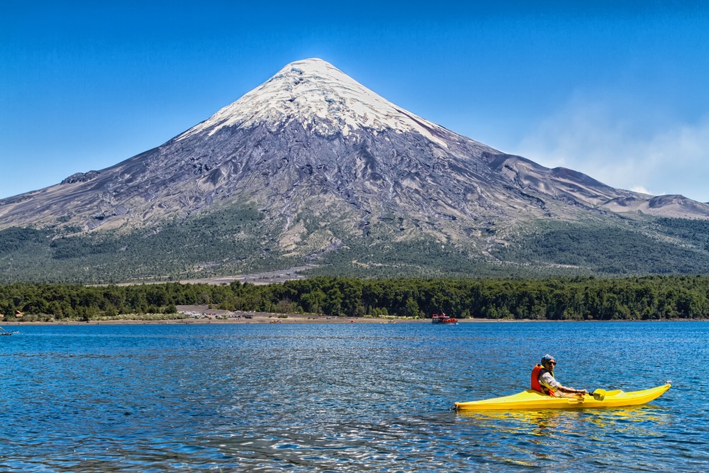
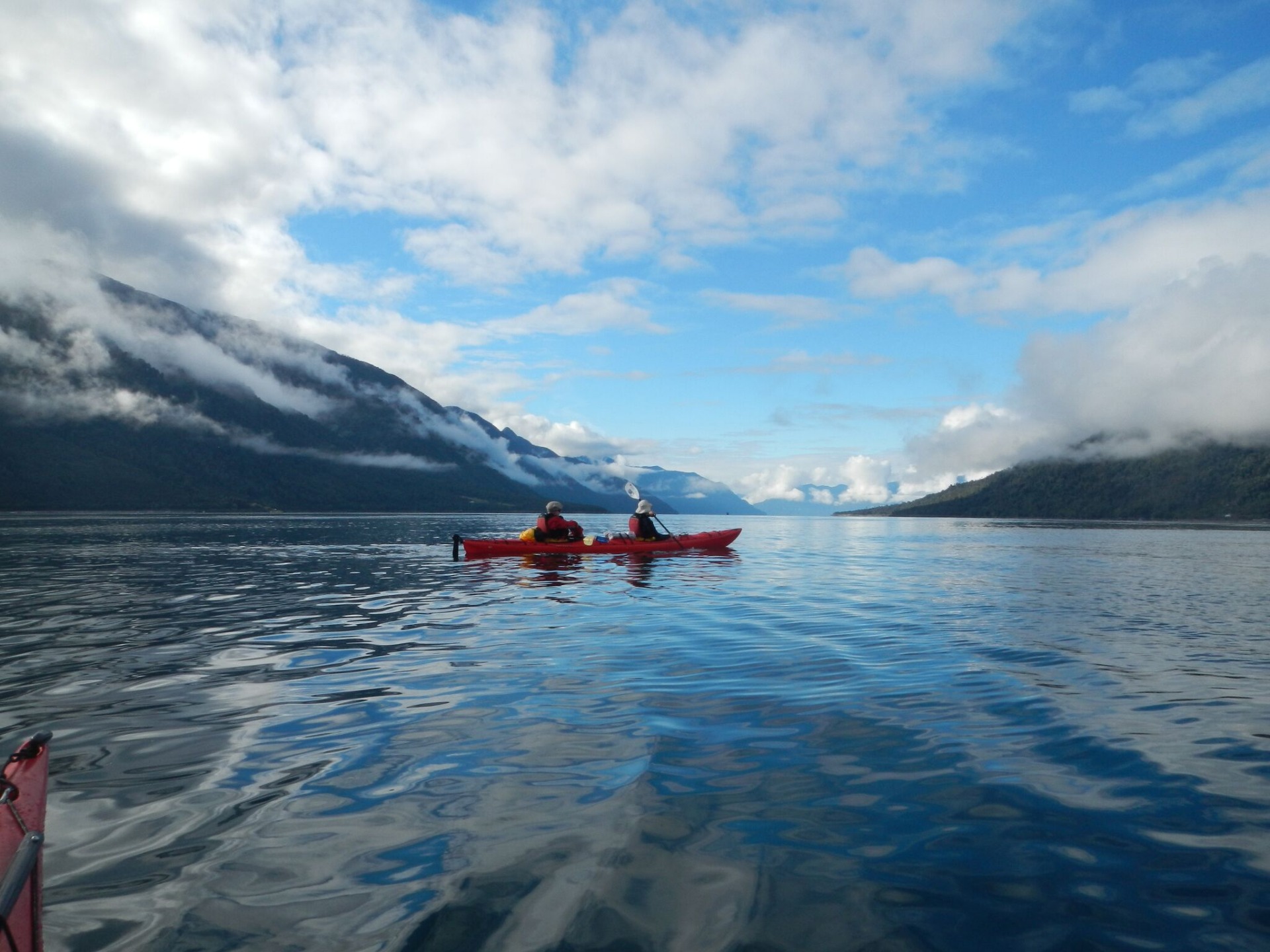
- Kayaking
Weather
Laguna San Rafael is characterized by a humid temperate subtropical climate with no dry season. It is warm in summer. The average annual temperature is 15.8°C, and average precipitation reaches 761.7 mm.
How to get there?
By car
To reach Puerto Montt or Coyhaique from the Santiago route, you can choose between personal driving and public transport.
Continuing from Coyhaique to Puerto Tranquilo, take the road.
From Puerto Tranquilo to Exploradores Bay, the route is also accessible by road, though some sections are under construction.
To access San Rafael Lagoon from Puerto Chacabuco, the maritime route is preferred.
If you are leaving Coyhaique or Puerto Aisen heading toward the park, you can take a flight.
By plane
Begin your journey by taking a flight from Santiago to Puerto Montt. Once there, board an organized excursion that will guide you to the park. These tours may include a boat or plane transfer to get you to your destination.
Interested in this visit?
We can include it in your personalised itinerary.