Pliegue Tumbado
Pliegue Tumbado
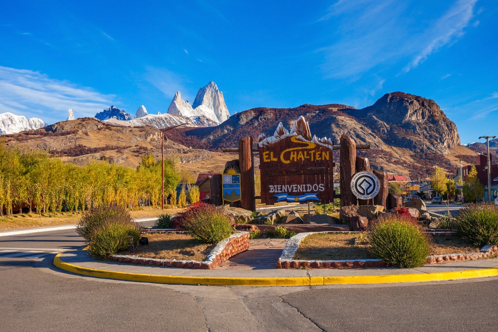
Starting from El Chaltén, the Pliegue Tumbado trek climbs to reveal rare vistas of Fitz Roy and Cerro Torre, punctuated by ancient marine fossils.
Discover the stunning beauty of the Pliegue Tumbado mountain region, where every step brings adventure and wonder. In the heart of Los Glaciares National Park, spend a magnificent day hiking while taking in panoramic Patagonian views worthy of a postcard. Whether you're a hiking enthusiast or nature lover, this remarkable landscape awaits you.
Discover Loma del Pliegue Tumbado
Pliegue Tumbado consists of three rounded rocky peaks, reaching elevations of 1,340 m, 1,420 m, and 1,550 m respectively. To the north stretches the Fitz Roy River, while to the south flows the Túnel River. Continue westward and you'll discover Cerro Solo, now considered an alpine climb rather than a simple hike.
From this vantage point, you'll enjoy magnificent views of the Cerro Torre and Cerro Fitz Roy mountains. This perspective offers a south/south-east facing view, distinctly different from the familiar eastern outlook. While many hikers choose Laguna Torre or Laguna de los Tres for mountain views, Loma del Pliegue Tumbado provides an even more striking perspective.
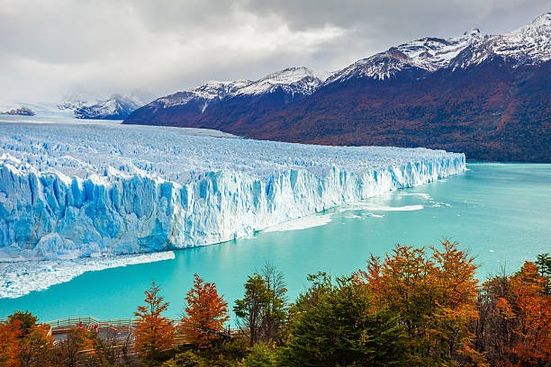
Traverse the valleys of Cerro Fitz Roy and Torre, take time to admire the Patagonian steppe, and let yourself be captivated by the vastness of Lake Viedma.
Trekking Pliegue Tumbado
Rather than following a valley trail or heading to a lake, the Pliegue Tumbado route elevates you above the surrounding landscape. Once at the summit, you'll be rewarded with breathtaking panoramic views across vast mountains, rivers, and lakes.
The trek begins at the Ceferino Fonzo National Park Visitor Center. You'll likely spot a small fence marking two routes. On the left, the trail leads to the Condors and Eagles viewpoints, while on the right, it heads toward Tomb Fold and Laguna Toro/Wind Pass. This trail presents a total elevation gain of approximately 1,100 m (3,610 feet) to reach a viewpoint situated around 1,500 m (4,920 feet) above sea level. Given its altitude, lack of tree cover, and wind exposure, bring waterproof jacket and warm clothing—even in summer, light snow is not uncommon.
After roughly one hour of walking, the trail crosses a plain called "Pampa De las Carretas". From here, enjoy magnificent views of Mount Huemul, Lake Viedma to the south, and the entire Andes range to the northwest, with the Torre and Chaltén peaks in the background. Continuing on, you'll pass through forest until reaching an elevation of approximately 1,000 meters above sea level. At this point, the landscape shifts dramatically: trees give way to shrubs and scrubland vegetation. Along the way, among the many stones, you'll discover remains of marine fossils dating back approximately 100 million years.
The final ascent can be tricky to navigate, but yellow markers will guide you toward the summit. If snow covers the summit, proceed cautiously. However, once reached, the summit offers an exceptional panoramic view.
Essential gear to bring
- Trekking boots
- Small backpack with rain cover
- Water bottle and snacks
- Packed lunch
- Portable charger
- Hat
- Sunglasses
- Sunscreen and insect repellent spray
What to see nearby?
- Campo de Hielo Sur
- Lago del Desierto
- Lake Viedma and glacier
By car
Drive along National Route No. 40 for 215 km. Then take Provincial Route No. 23. You'll pass along the eastern shores of Lakes Argentino and Viedma. If coming from the north, follow the same routes.
By bus
From October to May, several daily buses depart El Calafate in the south (215 km) for approximately a 3-hour journey. From the north, departures from Perito Moreno (220 km) are less frequent.
Interested in this visit?
We can include it in your personalised itinerary.