Cabo de Hornos National Park
Cabo de Hornos National Park
At the southernmost tip of South America, Cabo de Hornos National Park protects 63,093 hectares of subantarctic forests, peatlands and marine wildlife.
Experience the serene atmosphere and rich ecosystem of Cabo de Hornos National Park during your next expedition to the Magallanes region. Ready to encounter some of Patagonia's most remarkable creatures? Let's go!
Cabo de Hornos National Park, the first national park at the end of the world
Located in the Magallanes and Chilean Antarctica region, Cabo de Hornos National Park stands as one of the world's most remote and fascinating destinations. Both a terrestrial and marine national park, it captivates with wild landscapes and exceptional biodiversity of immense value. Prepare yourself for a safari rich with discovery.
A brief history of the park
Legend has it that Dutch merchant Isaac Le Maire first discovered the Cabo de Hornos region on January 29, 1616. It was named Hoorn in tribute to the expedition's city of origin. The national park was officially established on April 26, 1945 by the Chilean Ministry of Agriculture. It forms part of the Cabo de Hornos Biosphere Reserve, created by UNESCO under the Man and the Biosphere Programme (MAB), alongside Alberto de Agostini National Park.
Cabo de Hornos National Park, a spectacular natural paradise
Prepare yourself for a verdant escape; this natural sanctuary transports you to a wild world brimming with wonders. Located at the southernmost tip of South America, it encompasses the Wollaston and Hermite islands. As the world's most southerly national park, it is administratively linked to the Chilean Antarctic Province within the Magallanes region.
Here, indigenous flora and fauna thrive and are preserved from human contact. The terrain is marked by modest elevations, with the exception of Monte Hyde which peaks at 670 m.
Incorporated into Chile's "Route of the Parks," which spans 2,800 km from Puerto Montt in the north to Cape Horn, Cabo de Hornos National Park contributes to the preservation of 11.8 million hectares as part of the Patagonia Parks Route.
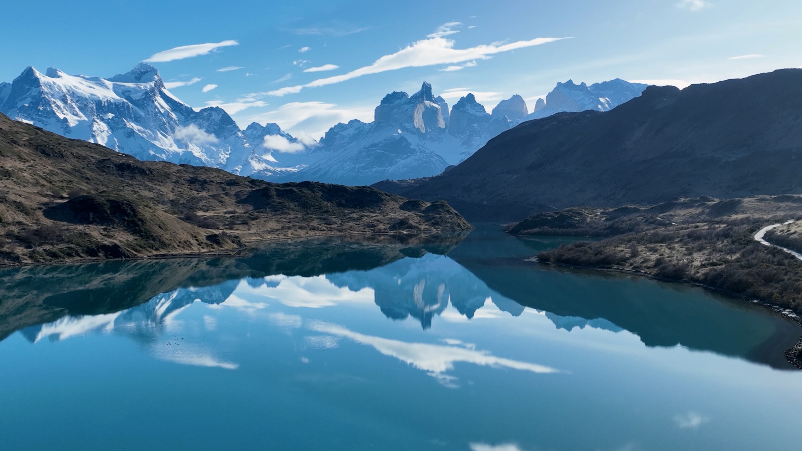
A breathtaking view of where the Pacific and Atlantic oceans meet adds a spectacular dimension to your escape.
Wildlife
Comprised essentially of birds and marine mammals, the park's fauna is as rare as it is precious, with numerous species currently threatened. Several bird species including Magellan penguins, giant petrels, kelp gulls, Gaimard's cormorants and royal albatrosses have made their homes on the park's islands.
Many fascinating mammal species also inhabit the reserve, including sea otters, leopard seals, Chilean dolphins, Burmeister's porpoises, Peale's dolphins and humpback whales.
Your expedition also offers the chance to encounter the park's largest flying species—the albatross. The adult wingspan reaches 3.5 m. Then venture into observation of extraordinary marine fauna alongside southern giant petrels and Magellan penguins. Among these, discover southern elephant seals, southern right whales, Peale's dolphins, Chilean dolphins, chungungo otters and birds such as the Fío Fío.
Flora
The park's panorama is distinguished by the near-uninterrupted expanse of peatlands, devoid of trees. These expanses feature low and dense vegetation formations, adorned with grasses, lichens and mosses resistant to harsh climatic conditions. In scattered areas, modest copses composed of Antarctic beech or ñire, lenga, canelo and Magellanic coigüe flourish in harmony.
Within the park, traverse the southernmost forest on the planet. It is characterized by subantarctic copses hosting species such as Canelos, Coigües and Ñirres. These trees are truly impressive with their robust and squat silhouettes. Vast peatland expanses beautify much of the island's surface. The vegetative microcosm does not go unnoticed, with over 400 species of moss and 300 species of liverworts, conferring on Cape Horn a reputation as an icon of biodiversity.
Where is Cape Horn located?
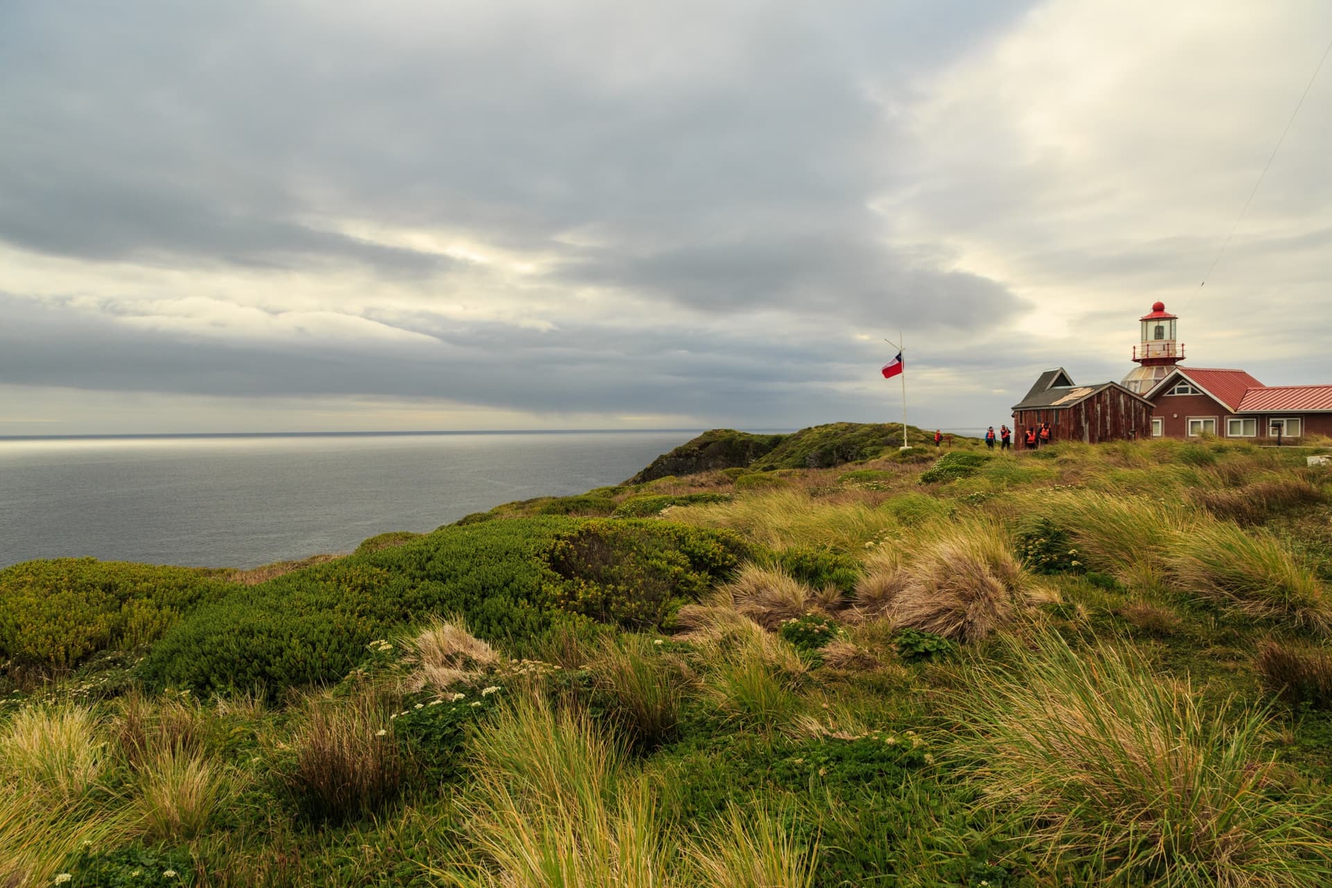
The famous Cape Horn stands at the southernmost tip of Horn Island and forms part of the vast Tierra del Fuego archipelago under Chilean jurisdiction. It is widely recognized as the southernmost point of South America. It represents the most austral point among the great capes and marks the northern boundary of the Drake Passage.
A little geography
If you dream of discovering a vast sanctuary, it's hard to find other destinations in Patagonia that rival this one. The grand landscape of this park covers an area of 63,093 hectares, with an average altitude of 220 m. It is upon entering its borders that you will discover two main peaks: Cerro Pirámide, reaching 406 m, and the highest point, Cerro Hyde, which dominates at 670 m.
Located at the extreme south of Chilean territory, with the exception of the disputed Chilean Antarctic Territory, the national park offers a spectacular backdrop where land and sea converge.
Climate
The region enjoys a cool climate due to its southern geographic position. Winds maintain an average of 30 km/h, often accompanied by gusts exceeding 100 km/h throughout the year. Annual precipitation reaches 2,000 mm and is characterized by generally cloudy skies and frequent rain. During winter, the climate experiences particularly powerful winds and reduced visibility approximately 30% of the time. In summer, wind gusts, occurring up to 5% of the time, coexist with excellent visibility.
How to get there?
You have the choice between air or maritime transport from Puerto Williams, the nearest town. Journeys from the Argentine city of Ushuaia or Punta Arenas, the regional capital, take approximately 12 hours by boat. Several tour operators and expedition cruises offer circuits to Cape Horn, allowing travelers to appreciate the beauty of the Southern Seas and explore this emblematic Cape Horn site.
Interested in this visit?
We can include it in your personalised itinerary.