Carretera Austral
Carretera Austral
1240 km of road between Puerto Montt and Villa O'Higgins, through 18 national parks in Chilean Patagonia: stages, history and practical tips.
Driving the Carretera Austral is to experience the sensation of reaching the end of the world! Steep and vertiginous, covered mostly in gravel, dirt and mud, it continues to captivate adventure seekers.
This mythical road winds through fjords, glaciers, dense forests, snow-capped misty peaks, azure lakes and powerful rivers. It's the most spectacular road trip to take in Patagonia!
A bit of history
Before the 1980s, the southern regions were cut off from the rest of Chile. No road provided access to this part of Patagonia, which was nonetheless developing gradually.
The Southern Highway was one of the major road infrastructure projects initiated during Augusto Pinochet's military regime. In 1976, the Cuerpo Militar del Trabajo, a division of the Chilean military, began construction of this southern route. Over 10,000 Chilean soldiers participated in the work. This Chilean architectural undertaking was the most costly of the 20th century.
Building the road was not easy. Paths had to be found through fjords, glacial rock formations and two mountain passes. Several soldiers lost their lives, particularly during blasting operations.
The first section of the Southern Highway was inaugurated by General Augusto Pinochet in 1986. The road was officially named "Carretera General Augusto Pinochet" until 1989.
The final kilometers of the road were completed in 2000, with Villa O'Higgins as the ultimate terminus. Construction of the section connecting to Puerto Natales began in January 2007.
By 2008, the Carretera Austral had been paved for more than half its length, much to travelers' delight. Its condition continues to improve.
The Carretera Austral today
The Austral Highway is one of Patagonia's most remarkable roads. It is also the sole route traversing 18 national parks and natural reserves.
Today, this scenic highway connects over 35 towns in this part of Patagonia. However, despite its scale, the region remains sparsely populated (around 100,000 inhabitants).
What makes Route CH-7 so captivating is its unique path: it is the only road linking Puerto Montt with the remote regions of northern Patagonia. The route notably passes through the southern half of Pumalín Park.
Characteristics of the Carretera Austral
The legendary National Route 7 connects Puerto Montt (in the Chilean lakes district, at the northern tip) and Villa O'Higgins (in the Aysén region, at the southern tip). The Carretera Austral (meaning "Southern Highway") passes through towns including Chaitén, Coyhaique, Puerto Aysén, Cochrane and Chico.
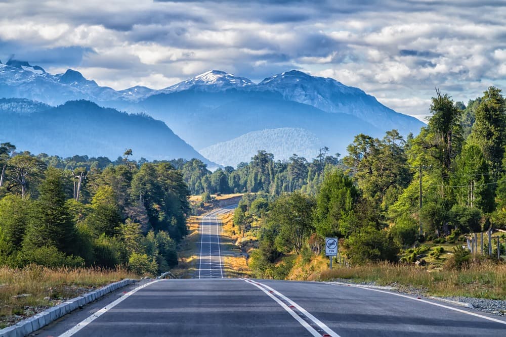
Spanning a total distance of 1240 km, this mountain road is not for beginners: some sections are gravel or dirt, and it is sometimes quite narrow.
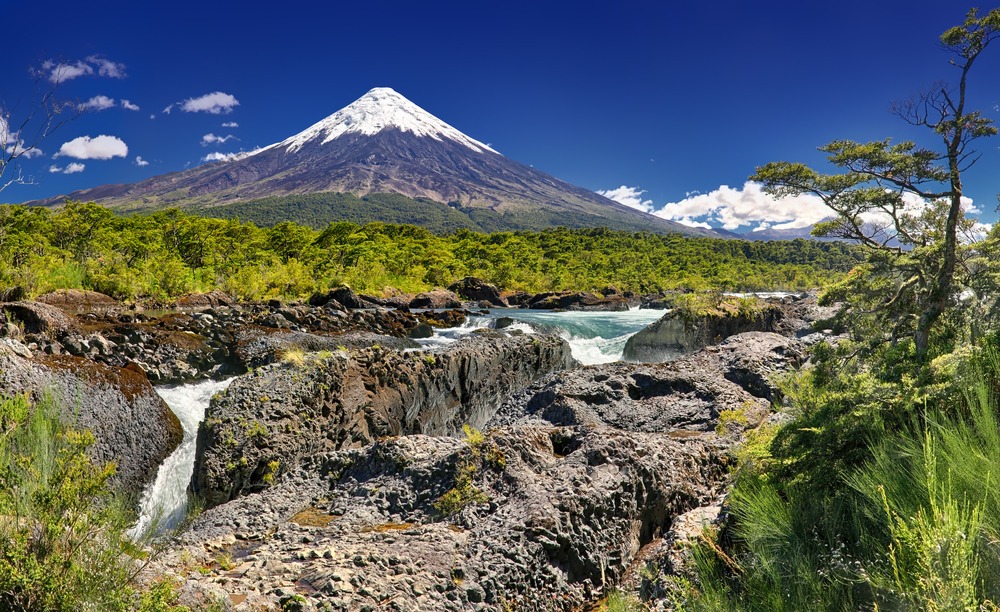
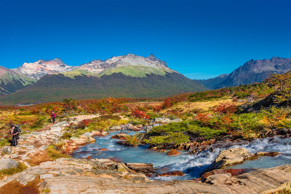
Along the Carretera Austral unfolds an incredible concentration of Patagonian landscapes: a succession of Andean volcanoes, fjords, narrow channels, lakes, glaciers, steep peaks and forests.
Largely because of its poor condition, this legendary road continues to captivate travelers. This route remains undeniably one of the most thrilling adventures to experience in South America.
The Carretera Austral is also part of the new Ruta de los Parques. Stretching 2,735 km, it begins at Puerto Montt and ends at Cape Horn, at Patagonia's tip. It connects 17 Chilean national parks.
Key towns along the Carretera Austral
The famous Carretera Austral takes you, over more than 1,200 km, to the far south. It extends the Panamericana, the road beloved by adventurers.
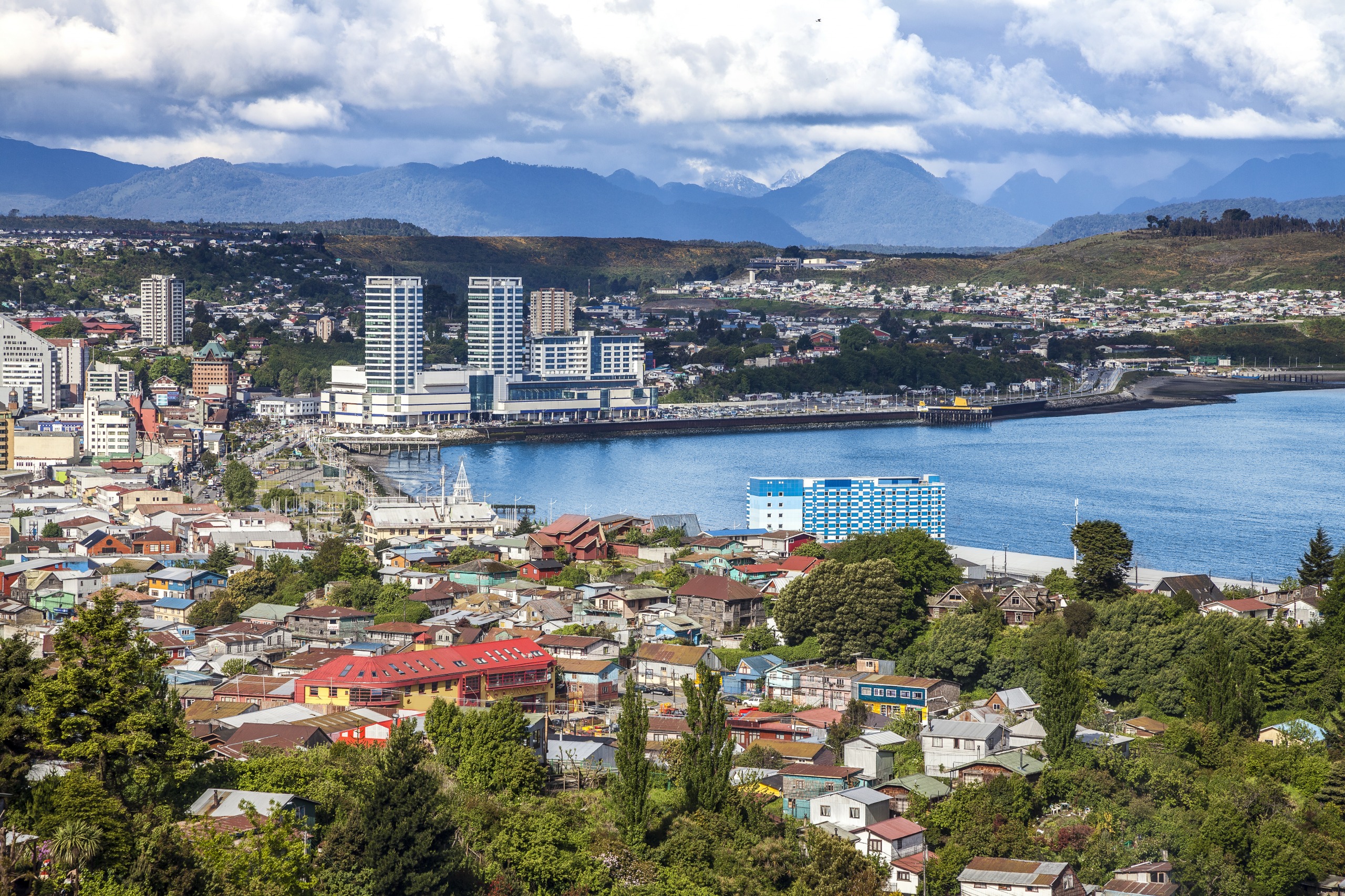
Puerto Montt sits about two-thirds along Chile's epic 4,270 km coastline. This city marks the northern terminus of the Austral route.
From Puerto Montt, head toward Chaitén, the largest town in the Carretera Austral's far north. It is the gateway to Pumalín Park. The park is dotted with camping areas and scenic trails, winding through Valdivian temperate rainforest. Hiking paths lead to the lakes, waterfalls and massive ancient trees of the park.
In the northern section of the Carretera Austral, you can pause at Puyuhuapi. It is a charming, highly isolated and often misty town. You'll marvel at the typically German architecture of the houses, a legacy of German settlers who arrived in the 1930s. This town is the starting point for exploring Queulat National Park and its hanging glaciers and lagoons, such as Ventisquero Colgante.
To stock up on provisions for your journey, stop in the town of Coyhaique. This allows you to make a day trip to Coyhaique National Reserve (between one and 7 hours of hiking).
Between Puerto Río Tranquilo and Coyhaique lies another marvel of the Carretera Austral: Cerro Castillo village. An old pioneer settlement, it is the starting point for excursions to Cerro Castillo National Reserve. Rising to 2,700 meters, Cerro Castillo and its basalt peaks host numerous animals, including huemules (the endangered southern Andean deer).
On the shore of Lake General Carrera sits Puerto Río Tranquilo, a rather quiet town. It is known for its caverns and marble cathedrals. These are impressive geological formations with swirling patterns, accessible only by boat or kayak. The town is 1.5 hours from Laguna San Rafael National Park. It is the best place to observe glaciers.
On the southeastern shore of Lake General Carrera, Chile Chico is also worth visiting. This town enjoys an exceptional microclimate, both sunny and warm. This section of the Carretera Austral is favorable for cherry cultivation. You will also find 5 endemic species of cactus. But Chile Chico is primarily the ideal spot to leave the mythical road and head toward Argentina.
Cochrane is the next destination. You come here for Patagonia National Park, particularly the southern sector. In this area lies Chacabuco Valley and Tamango National Reserve, renowned for the extreme variety of their ecosystems and hiking trails.
For a unique experience, visit Caleta Tortel. Perched on the wooded edges of a small hill and overlooking the milky blue waters of the lake below, this village is traversed by no roads. Beyond its picturesque appearance, with wooden boardwalks and old cypress houses, Caleta Tortel provides access to several glaciers, including Ventisquero Steffens and Jorge Montt.
The road concludes at Villa O'Higgins, offering the chance to discover Patagonia's wild side. Ringed by magnificent peaks on both sides, the town provides access to the Southern Patagonia Ice Field, including the famous O'Higgins Glacier.
Carretera Austral, a beautiful road to follow
Following the Carretera Austral is like having before you an immense showcase of different landscapes. All forms of terrain existing on Earth dot the itinerary. First you notice ancient larch forests, species that can live nearly 4,000 years, notably in Alerce Andino and Hornopirén national parks. These forests are bordered by magnificent fjords.
In Chile's Aysén region unfolds a vast expanse of glaciers: the Northern Patagonia Ice Field. The Queulat hanging glacier, located near the village of Puyuhuapi, is one of the route's main attractions. The national park of the same name features tight curves, steep climbs and descents. Vegetation is dense, with giant tree leaves, coigües, nalcas and lengas.
The Lake General Carrera marks the center of the Austral Highway. It is surrounded by beautiful towns, such as Puerto Ibáñez or Chile Chico, and owes its fame to its marble cathedrals.
The Baker River enchants with its turquoise waters and rather turbulent flow. Hidden within glaciers, it offers a unique experience for thrill-seekers. The turbulent and turquoise waters of the Chelenko are all the more interesting as they contain several precious stones.
The Cochamó Valley is today an emblematic destination for climbers worldwide thanks to its gigantic granite walls. These rise on both sides of the river's crystal-clear waters.
When to visit?
The best time to visit the Carretera Austral falls between November and April. This period represents the end of spring, summer season and early autumn in Patagonia. The climate is both dry and mild, with temperatures ranging between 10° and 20°C, especially in January and February.
There are numerous ways to travel the Carretera Austral.
Car rental
For those wishing to visit remote, off-the-beaten-path locations in total freedom and comfort, nothing beats renting a car. You can find other travelers with whom to share expenses.
Ferries
- Puerto Montt–Chaitén: departure at 11 pm, Monday, Thursday and Friday. Journey time is 9 hours for CLP 17,000/US$23.
- Puerto Montt–Puerto Natales: departure at 4 pm every Saturday, for a 3-day journey, mid-October to April. Cost is a minimum of US$450.
- Quellón–Puerto Chacabuco: the ferry makes 9 stops along the route. Departure every Wednesday and Saturday at 11 pm, for 31 hours travel time and a fare of CLP 18,000/US$25.
Bus
If your budget is tight, buses are a good transport alternative. They serve the main towns dotting the itinerary. If you travel by bus, you won't have to worry about ferries. The bus ticket includes all ferry journeys during the route.
Some bus schedules:
- Bus Puerto Montt – Hornopirén Kemel: Departure Monday–Saturday at 8:30 am; Monday–Friday at 11:30 am; Saturday–Sunday at 12 pm; Monday–Sunday at 2:30 pm and Monday–Sunday at 5:30 pm. Journey takes 3 hours, costing US$17 (ticket).
- Bus Puerto Montt – Coyhaique: Departure every Friday at 7 am, for 18 hours travel time and US$56 (ticket).
- Chaitén – Puyuhuapi: Departure Monday, Wednesday and Friday at 4 pm, for 3 hours travel time and US$9 (ticket).
- Chaitén – Coyhaique: Departure every Wednesday and Sunday at 11:30 am, for 9 hours travel time and US$33 (ticket).
- Cochrane – Villa O'Higgins: Departure every Wednesday and Saturday at 8:30 am, for 6.5 hours travel time and US$10 (ticket).
Hitchhiking
Hitchhiking is a fun alternative for traveling the Carretera Austral, though more challenging.
Interested in this visit?
We can include it in your personalised itinerary.