Navarino Island
Navarino Island
Between the Beagle Channel and Cape Horn, Navarino Island is home to Puerto Williams, the world's southernmost trek, and the living memory of the Yagan people.
Navarino Island is one of the last territories of Patagonia, where nature thrives in abundance. Among its greatest natural treasures stands the Dientes de Navarino massif. The island is dotted with subpolar forests, glacial lakes, peatlands, jagged mountains, rivers, valleys, and above all, remarkable wildlife. Set sail for this land at the edge of the world, located south of Tierra del Fuego!
History of Navarino Island
More than 6,000 years ago, Navarino Island was inhabited by the Yagan people, notably in Wulaia Cove, situated on the island's eastern shore. Nomadic and few in number, they largely disappeared following the colonization and evangelization of Tierra del Fuego.
Cristina Calderón (born in 1928), residing in Ukika on Navarino Island, is today the only known direct descendant of the Yagan people. She is also the last speaker of the Yagan language.
The discovery of Navarino Island dates back to February 1624. At that time, Dutch explorer and admiral Jacques L'Hermite was sent via his Nassau fleet to explore the area. He managed to explore only the island's northern section. L'Hermite and his men were also the first to make contact with the Yagan people.
In May 1830, English commander Robert Fitzroy discovered the eastern portion of Navarino Island. While commanding the second scientific expedition of the HMS Beagle (from December 27, 1831 to October 2, 1836), Fitzroy completed his reconnaissance of the area in 1833.
The island was marked on maps in 1839 thanks to English cartographer Aaron Arrowsmith (1750–1823). In the mid-1880s, Navarino Island and its surroundings experienced a major but short-lived gold rush. Puerto Williams, now its principal city, was built in 1953.
Navarino Island today
Navarino Island, also called Navarin, is an island located at the extreme south of Chile, in the Magallanes and Chilean Antarctic region. It lies precisely between Tierra del Fuego to the north and Cape Horn to the south.
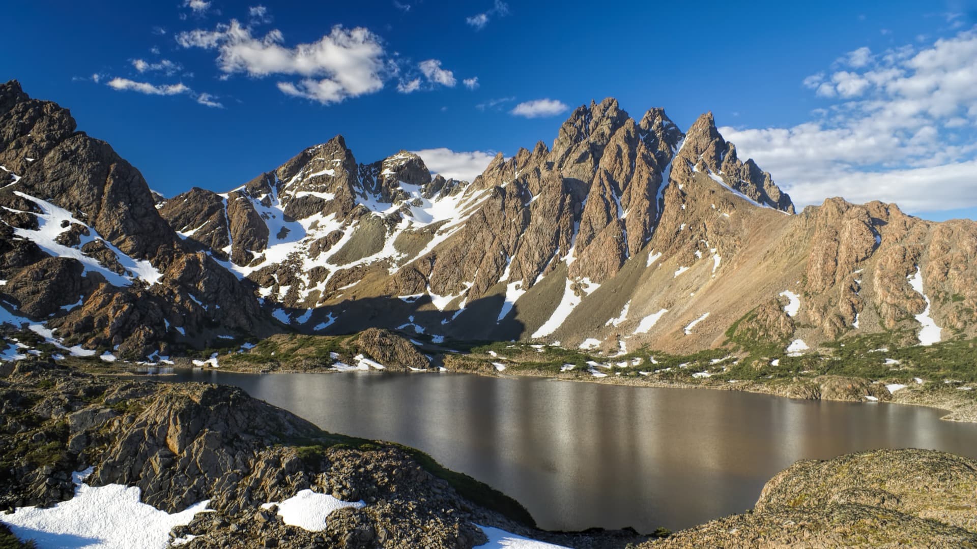
To avoid getting lost on the island, the Dientes de Navarino mountain range serves as an excellent landmark. These jagged rock formations are ringed by hundreds of lakes. The wooded hillsides and valleys are scattered with lengas and Magellanic beeches, rivaling the water-soaked peatlands in beauty.
The island has a total population of approximately 3,000 inhabitants. They live primarily from fishing (notably centolla and snow crab) and ecotourism.
Puerto Williams, its principal village, was originally a military base founded in 1953 by the Chilean Navy. Today, it is a civilian village, though the Navy maintains a strong presence.
The island is home to three other hamlets, including Puerto Navarino, the entry point from Ushuaia (Argentina). There are also the villages of Caleta Eugenia, distinguished by its fishermen's houses on Paso Mac Kinley, and Puerto Toro, located on the route to Cape Horn.
Description of Navarino Island
On the southern coast of Navarino Island stretch Windhond Bay and Seno Grandi. On the western coast stand out Wulaia Bay and Douglas Bay. The island's highest point is Pico de Navarin, rising to approximately 1,195 meters above sea level.
Navarino is the largest of the islands found south of the Beagle Channel. It is an island with mountainous and rugged terrain. The landscape, composed of forests, mountains, lakes, and waterfalls, is lush. Its coasts, dotted with small hills and pastureland, attract cattle herders.
Navarino Island is bounded by several Patagonian channels. To the north lies the Beagle Channel, measuring approximately 240 km long and 1.5 km wide. To the east of the island lie Picton and Lennox Islands, to the south Nassau Bay, and to the west, Murray Channel, which separates it from Hoste Island.
Flora on Navarino Island is characterized by subpolar Magellanic forests. The most representative species are Tierra del Fuego beech, or ñire, growing primarily in dry areas. Vegetation in damp zones is dominated by coigüe.
On the part of the island that rises between 600 and 800 meters above sea level spreads the Andean desert, caused by altitude. As for fauna, Navarino Island is primarily inhabited by various bird species, ducks, and a significant beaver population.
Moreover, a stay on Navarino Island can be marked by undertaking the Los Dientes de Navarino trek, which has the distinction of being isolated. Famous for the tooth-like peaks that gave it its name, this route comprises 5 days of hiking through jagged mountain passes and crystalline lagoons.
Here, the landscapes remain untouched. Dientes de Navarino is the world's southernmost trail and one of the region's most challenging treks. It is an excellent challenge for hikers unafraid of cold, snow, violent winds, and mud.
A stop on Navarino Island, for a journey to the end of the world
Isla Navarino, covering an area of 25,000 km², showcases rugged landscapes. One immediately notices the immense jagged mountain range of Dientes de Navarino.
Navarino's population (counted at 2,900 inhabitants) is mainly concentrated in its municipal capital Puerto Williams. It is considered the "southernmost settlement on the planet". There is also a significant concentration of population in the small villages of Puerto Navarino and Puerto Toro.
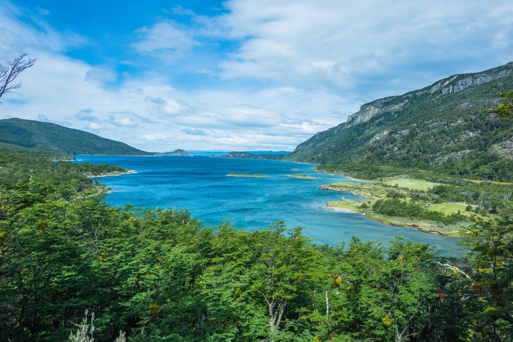
Driven by the winds of the Chilean Antarctic Province, Navarino Island takes you on an incredible adventure. This magnificent haven of peace is composed of lenga forests cascading down to small pebble coves and pristine waterways.
The pebble beaches and islets are encircled by forests of canelos, lengas (Tierra del Fuego beeches), spongy mosses, red fruit bushes, and ferns. Across the Beagle Channel, the peaks of Hoste Island offer a particularly striking panorama.
A multitude of activities await you on Navarino Island. After following sections of the famous "Dientes" circuit, you wander through the islets of Wulaia Bay. You then contemplate the miniature universe of the OMORA ethnobiological park, before setting out on a day of kayaking on the legendary Beagle Channel.
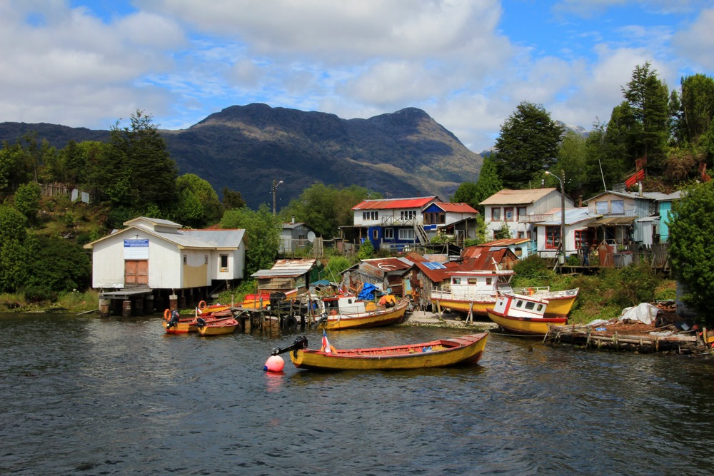
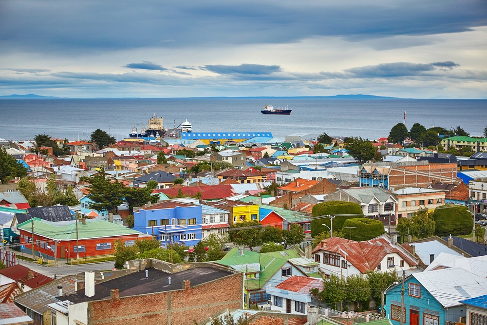
Finish with a stroll through Puerto Williams. With its rusted buildings covered in corrugated iron, colorful houses, and old fishing boats, it retains a rustic charm. Puerto Williams' isolation gives visitors the impression of being at the end of the world.
Navarino Island is also the best place to organize a cultural circuit. The Martin Gusinde Anthropological Museum is the perfect example. Created in 1974 and restored in 2008, this museum depicts the life of the region's indigenous peoples and settlers. Discover an important chapter of the island's history through a fine ethnographic collection.
75 km southwest of Puerto Williams, on Murray Channel, spreads Wulaia Bay. Its calm and shallow waters are inhabited by shellfish, sea lions, and dolphins.
Omora Park, a natural gem on Navarino Island
3 kilometers west of Puerto Williams, on the northern coast of Isla Navarino, lies the Omora Ethnobotanical Park. Its name derives from the Yahgan word meaning "hummingbird". The park is crossed by the Róbalo River, which provides drinking water to Puerto Williams.
Omora Park, stretching over 1,000 hectares, aspires to be a natural laboratory aimed at deepening the role of humans in the environment. It was created to foster biocultural conservation in the extreme south of South America.
This micro-forest is home to mosses, lichens, and liverworts, which carpet the tree bark. The result creates a magnificent tapestry of different colors and textures.
By hiking the interpretation trails of this protected reserve, you discover the main types of natural habitats in the region. These range from coigüe coastal forests to lenga forests, via peatlands, the miniature forests of Cape Horn, and alpine moorland.
The climate on the island
Navarino is a climatic exception, with moderate precipitation (annual average of 500 mm) and similarly moderate temperatures. In winter, averages hover just above 0°C, and around 10°C in summer. Winds blow strongly on the mountains and channels.
During the austral summer (December–March), expect strong winds alternating with calm and sunny days. Here, temperatures range from 18 to 20°C. In winter, you enjoy melting snow and a long succession of calm days.
By boat (under sail)
Navigation from Ushuaia takes between 4 and 6 hours. The crossing lasts several weeks from Punta Arenas, as well as from Puerto Montt, and 2 to 4 weeks from the Río de la Plata.
By bus
It is necessary to pass through Punta Arenas and stop there for at least one night before reaching Puerto Williams. For this, take the Southern Route (bus + ferries in Chile) or the route from Argentine Patagonia and Tierra del Fuego (Ushuaia).
By plane or ferry
Daily flights and weekly ferries connect Punta Arenas to Puerto Williams.
Want to discover this destination?
Our local advisors design your tailor-made trip.